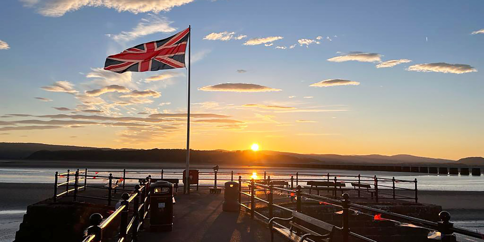
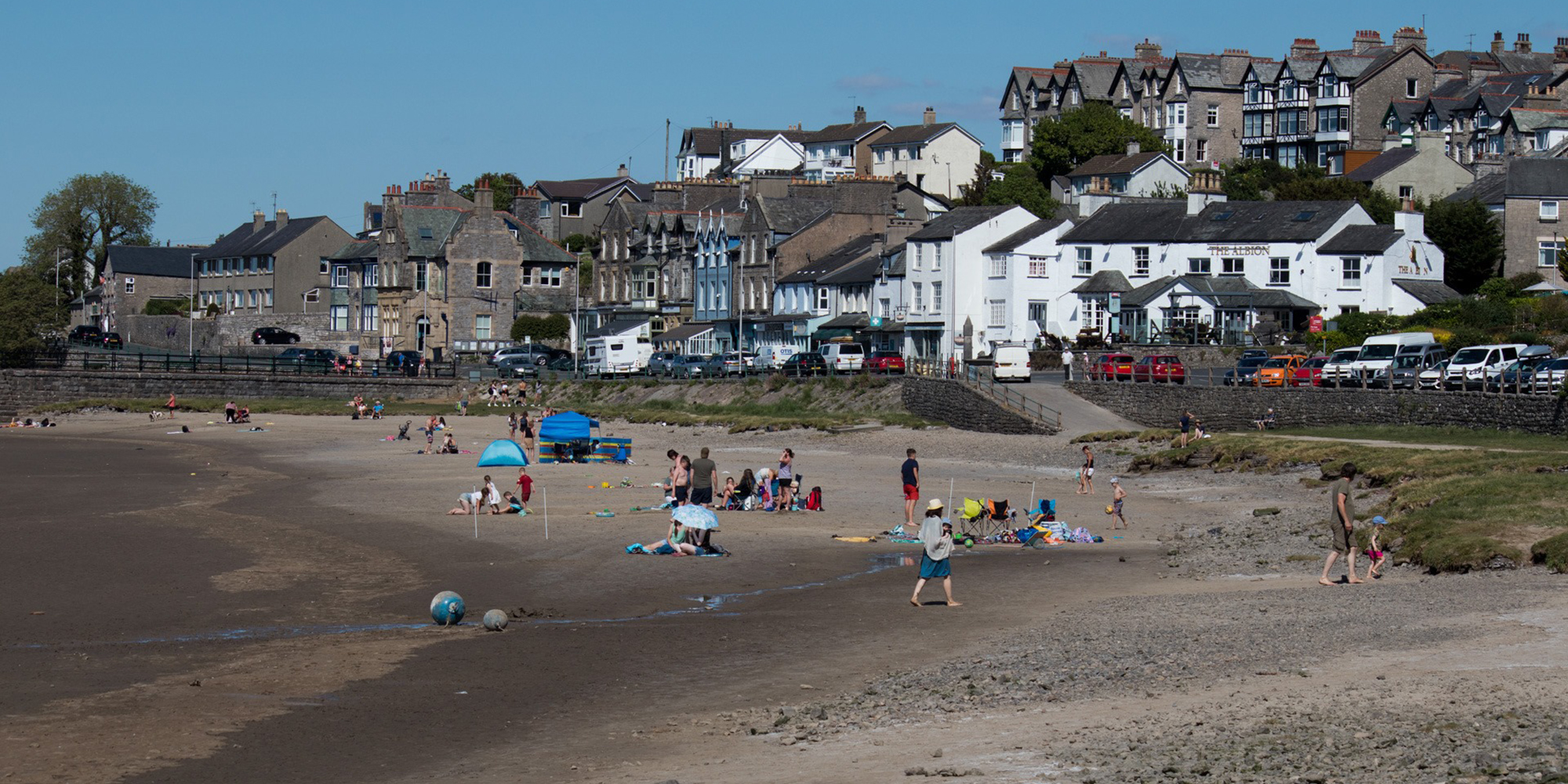
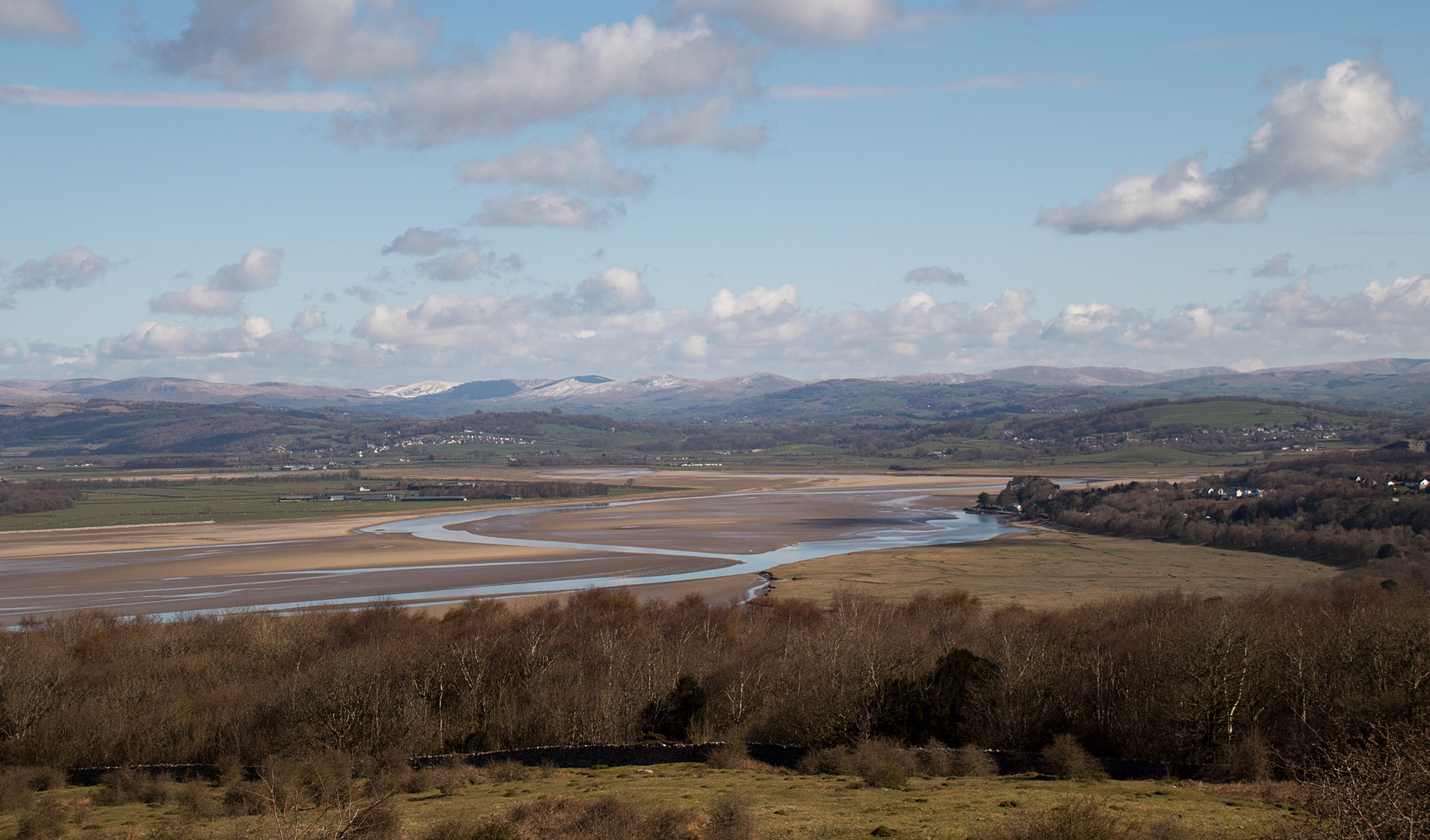
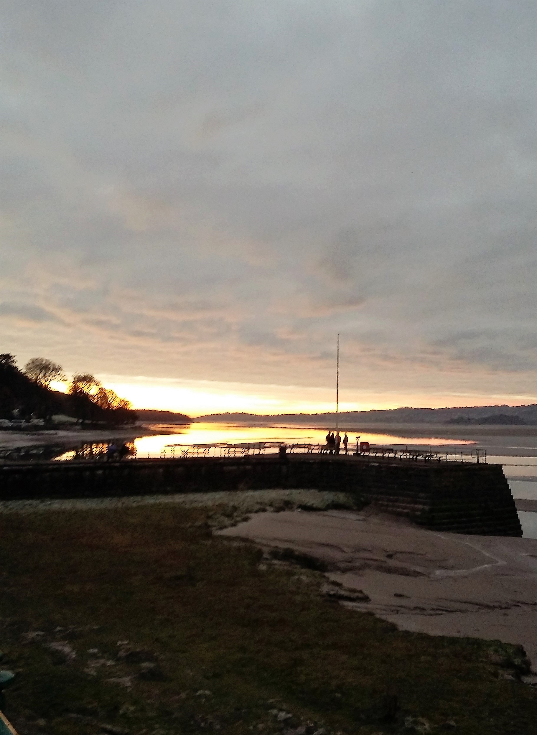
Arnside is a modest sized, unspoilt village on the estuary where the River Kent enters Morecambe Bay. This former fishing port has retained many of the features from its past, and the beautiful pier and port areas offer stunning views across Morecambe Bay, as well as providing an enduring reminder of its illustrious history.
It is a haven for birds, and the surrounding countryside contains a wealth of flora and fauna. Arnside Knott, owned by the National Trust, is a 520 ft high flat rock, which with neighbouring Silverdale in Lancashire, has done much to secure the designation of ‘Area of Oustanding Natural Beauty’. Covered with limestone grassland and mixed woodland, which attracts a variety of insects, the area is made up of species-rich limestone grassland, woodland, wet meadow, scree and scrub. Coppicing helps maintain the diversity of wildflowers and associated butterflies. It is one of the best sites in Britain to see butterflies, especially in June and July, with rare species such as the High Brown Fritillary and Scotch Argus found here.
The views north across the Kent Estuary to the Lake District fells and out into Morecambe Bay are unsurpassed. Heathwaite has spectacular displays of wildflowers, in particular Cowslips and Early Purple Orchids in spring. A little know fact about The Knott is that it became a ‘Marilyn’ (a Marilyn is defined as a hill within Great Britain or Ireland with a prominence of 150 metres or more regardless of height) in 2005 and remains the smallest Marilyn in England (as of February 2017).
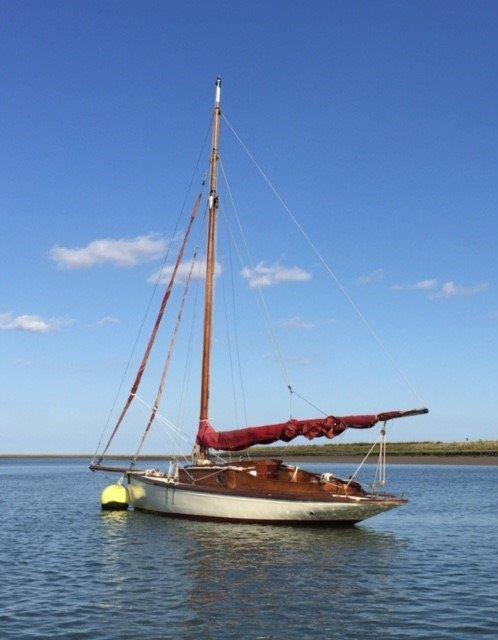
Until around 1845, Arnside was a small hamlet of only a few farms, fishermen’s cottages and inns. Arnside also has a long history of sailing, and regattas were held here in Victorian times. But it was the arrival of the Crossfield families and their boat/house building businesses who were primarily responsible for the early growth of the village. They built ‘Nobbies’ here – fast shallow-drafted fishing boats and yachts, many of which are still in existence. Arthur Ransome’s ‘Swallow’ is thought to have been built in Arnside and was sailed on the estuary in the 1930’s by a local teenager. The need for dwellings resulted in the first development along the estuary frontage – what is now the parade of shops along the promenade.
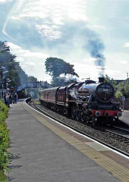
However, it was the arrival of the railway in 1857, along with the ‘compensation’ (Sandside) road built in 1870 that provided greater access to and from the village. Growth was also boosted by holiday makers taking advantage of Arnside’s seaside position. Well-to-do Victorians, with their fascination for the sea, further swelled the numbers and Arnside began to develop a reputation for being an idyllic spot, with the Kent estuary being Westmorland’s only access to the seaside. A well earned reputation that is still just as valid today.
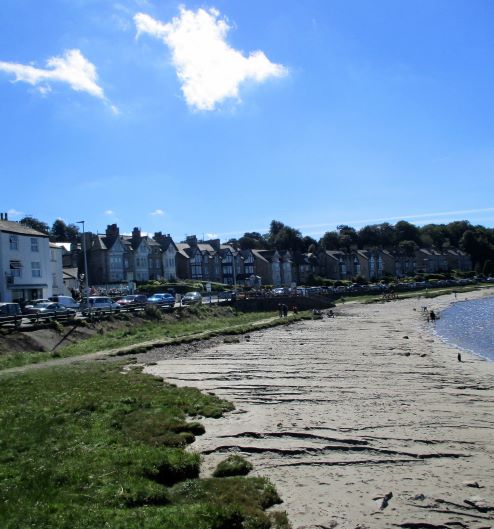
Arnside’s port eventually lost its trade to other more accessible harbours, but it still retains a pier. The original, built by the railway in 1860, was destroyed by a storm in 1984, but was rebuilt. The promenade is a popular spot for a walk with great views across the estuary towards the Lakeland fells, and a choice of individual shops to browse and cafes for a welcome cuppa or a spot of lunch or Afternoon Tea. ‘The Old Fighting Cocks’ (once The Crown Hotel) was built in 1660 and it is believed that the cock-pit still remains under the floor.
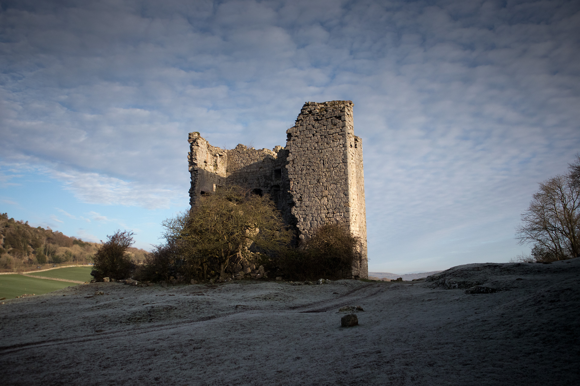
Arnside Tower is one of a number of 15th century Pele towers constructed for safety during the border raids by the Scots, built in a ring around the Bay. Constructed of limestone rubble, the tower was originally five storeys high, measuring 50 feet by 34 feet. It was built with an adjacent wing of equal height built onto the side of the tower in a style common in Scotland, but rare in English tower houses. The tower suffered a serious fire in 1602 but after repairs remained in use until at least the end of the 17th century, but possibly until the end of the 18th century when it is understood that William Coward and his sister, Agnes Wheeler, lived there. One of the walls of the tower collapsed around 1900, and as of 2014, English Heritage considered the condition too bad for it to be open to the public. It is now classed as a ruin but good views of the tower can be seen from the public footpath which runs alongside. Arnside Tower is a Scheduled Monument and a Grade II listed building.
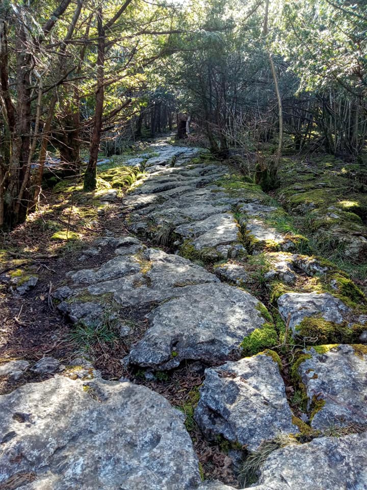
Until 1866 Arnside was a part of Beetham parish, so people attending worship in Beetham had to climb Whin Scar on Beetham Fell, squeeze through the Fairy Steps, and descend to the church for services. When an Arnside resident died, their corpse was placed in a coffin and carried along the same route, also called the Coffin Route for obvious reasons, for burial at St Michael’s Church, Beetham. It is hard enough to climb up and down the Fairy Steps without carrying anything, so to carry a coffin was exceptionally difficult. You can see where iron rings were driven into the limestone sides of the Steps to aid the burial party in winching the coffin up the narrow passage. It must have been a huge relief to the people of Arnside when they got their own parish and no longer had to make the trek up the Fairy Steps to Beetham!
At Morecambe Bay, tides turn quickly as the “tidal bore”, a dangerous and swift high tide, comes racing up the River Kent. Low tide uncovers miles of sand, and guided walks across the Bay are possible. It was the monks who first guided people over the sands. Guides carried poles to check on the water’s depth, and, when walking the sands was possible, they would blow a horn to inform travellers. When tides made the Bay unsafe to cross, the guides again blew on a horn to signal that the crossing was closed. Horses were often a means of transport for those wealthy enough to afford them. John Wesley, founder of the Methodist Church, used a horse to make his way across the sands. Other famous people have crossed the sands of Morecambe Bay – among them were Robert the Bruce’s soldiers when they invaded Lancashire in 1322. The Lanercost Chronicle said, “. . . . so they crossed the sands of Kent as far as the town of Lancaster which they burnt, except for the Priory of the Black Monks and the homes of the preaching Friars.” The supporters of Lambert Simnel (pretender to Henry VII’s throne) crossed the sands in 1487. George Fox, the unpopular founder of the Quakers, was escorted by soldiers across the sands for trial and imprisonment in Lancaster. Today, a siren is sounded 1/2 an hour before the tide comes in, as a warning to people to get off the sand. It is then sounded again just as the tide comes in.
Large numbers of wading birds and wildfowl frequent the estuary, and much of the area is owned by the RSPB, including the nearby, popular Leighton Moss Nature Reserve, a reed-swamp that is home to marshland birds.In some parts of Morecambe Bay, low tide is a time for the fishermen to gather whitefish and shrimp from previously set traps. Called flook fishing, vehicles drive onto the sands to collect the sea’s bounty. Hand fishing is also possible as the tide goes out. As the tide rises, fisherman with their rods are a common sight along the estuary at Sandside.
The Barrow to Lancaster railway (‘The Furness Line), crosses the river Kent at Arnside over a very impressive viaduct. A great feat of Victorian ingenuity, the iconic pillars of Arnside’s viaduct have spanned the River Kent for more than 150 years, connecting the industrial port of Barrow to urban centres further south – slashing journey times.
Built in 1857, the viaduct is 522 yards long and has 50 piers. The piers were the first to use water jets in the construction of the footings for the piers. It was rebuilt in 1915 to support the extra weight of the munition trains from Barrow. Additional brickwork was added to the piers around the lattice steel work of the original build. The original steelwork remains to this day within the brick surrounds. The deck and upper portion of the viaduct was completely replaced in 2011 making trains notably quieter as they cross the estuary.
The building of the viaduct meant that ships could no longer reach Milnthorpe, which until then had been known as Kendal’s port. Because of this, a pier was built at Arnside – the remains of which can still be seen on the foreshore, adjacent to the current pier. The pier was destroyed by a storm and subsequently rebuilt by public subscription. It’s very hard to imagine ships sailing up the estuary today, but the pier acts as a reminder of a time gone by.
The census from 1841 showed the population of the village to be 140 people in just 25 dwellings. By 1891 – just 50 years later – the population had risen to about 600 people in 105 dwellings. Today, some 130 years later, the population is around 2,233 (2021) with more than 1,100 dwellings and businesses.

